
Start with the decision, not the sensor
First identify what you need to see, measure, or compare. A forestry project may need tree heights and a terrain surface. A construction team may need a visual record of progress. A land manager may need both a clear image and elevation data.
Tell us the site location, area of interest, intended use, and existing information. Those details help determine whether a new flight is needed and which outputs would be useful.
Use LiDAR for terrain and three-dimensional structure
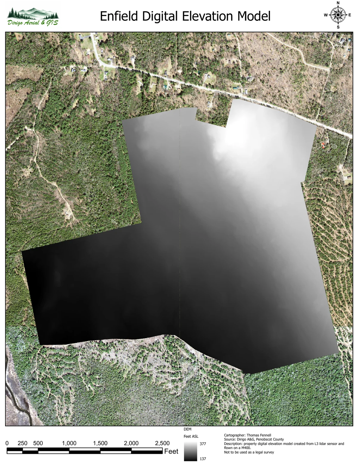
LiDAR records returns from laser pulses as a three-dimensional point cloud. Suitable returns can be processed into products such as terrain models and canopy-height models. Some pulses reach the ground through gaps in vegetation, but dense cover and site conditions can limit the ground information available.
The DEM example below represents ground elevations. A canopy-height model instead describes vegetation height relative to a ground surface. Neither product should be interpreted without checking its units, reference system, and supporting quality information.
View Use LiDAR for terrain and three-dimensional structure (PDF)
Use aerial imagery for visible site conditions
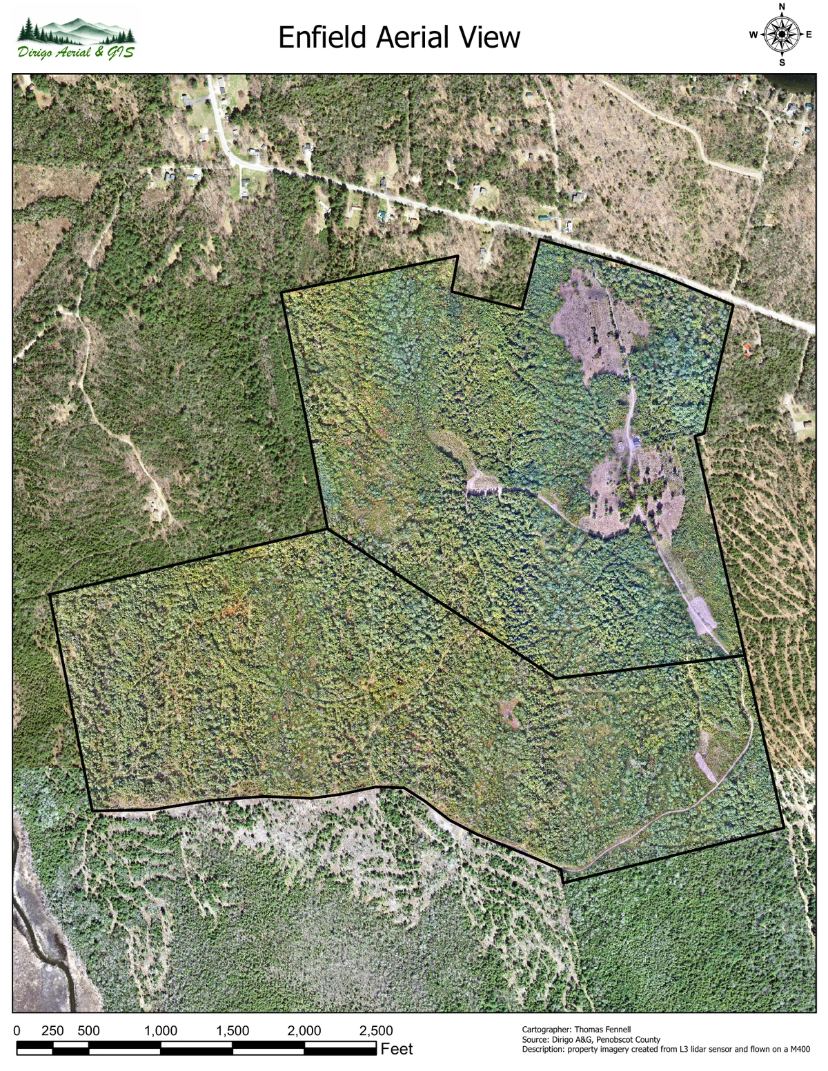
Aerial imagery helps show visible features such as canopy patterns, roads, buildings, and site changes. Processing overlapping photographs into an orthomosaic provides a georeferenced image that can be used alongside other maps.
Imagery cannot show the ground beneath a fully obscuring canopy. Image resolution describes visible detail, while positional accuracy describes how well mapped locations agree with independent reference measurements. These are different properties.
View Use aerial imagery for visible site conditions (PDF)
Reference: USGS: What is an orthoimage?
Combine them when your question needs both
A forestry project may combine an orthomosaic, a ground DEM, and a canopy-height model. A site-change project may use repeat imagery for documentation and compatible elevation surfaces for terrain or volume comparisons.
Before collection, confirm the required outputs, coordinate references, checking method, coverage, and schedule. Avoid choosing a sensor only because its advertised specifications sound more precise. Project suitability depends on the finished data and its verification.